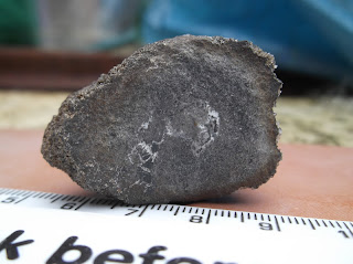
Towards the close of
Carboniferous Period some 295 million years ago (Ma),
crustal extension caused by movement of the Earth’s
tectonic plates allowed the emplacement of
igneous intrusions of
magma across much of northern England of a suite of
tholeiitic dolerite intrusions. These were largely concordant with the
strata of the existing
country rock. On cooling, these crystallised and solidified to form the Great Whin Sill.
It underlies much of south and east Northumberland and the Durham Coalfield. Its maximum known thickness of around 70 metres occurs in the North Pennines.
Surface and subsurface records of the Great Whin reveal it is not always concordant over wide areas and often rises and falls in the stratigraphical succession in marked leaps and gentle transgressions different levels.
Studies of the
petrology of the dolerites of the Whin Sill complex have revealed significant differences between the Little Whin and the Great Whin. The Little Whin Sill is
olivine-bearing and believed to be composed of an early
differentiate of the Whin dolerite magma. On the other hand, the Great Whin, non-olivine-bearing and slightly density graded, is a later differentiate of the Whin magma.
Two separate periods of Whin dolerite injection are confirmed by studies of
vitrinite reflectance over the
Alston Block where two periods of Whin
contact metamorphism have been recognized. The two periods of Whin dolerite emplacement form part of the end-Carboniferous earth movements in northern England. They can be shown to have occurred between a period of compression from a W-SW direction and later gentle doming of the Alston Block near the Westphalian-Stephanian boundary, dated about 300-295 Ma.
The
lithology is notable in many respects, including well developed
pegmatite segregations which can be found in Upper Teesdale. Late stage
hydrothermal mineralisation has filled the joints with
pectolite. The dolerite has been carbonated as metasomatic selvages into veins and joints and other flaws to produce 'White Whin'. Thermal metamorphism of the country rock in the contact zone produced coarse grained
marbles within the aureole in a small number of places in Teesdale.
Disused roadstone
quarries along the course of the sill offer sections for its interpretation.
Tertiary
During the
Tertiary, the British land mass drifted northwards from 40°N to its present latitude. It was also moved eastwards by the widening of the Atlantic Ocean and there was violent volcanic activity over north west Britain. It was in this period that the
Cleveland dyke was formed, originating from volcanic activity near the Scottish island of
Mull. The highlands and lowlands of Britain assumed their present relative positions by the late Tertiary period, about 2 million years ago.
[4][2]
The eastern termination of the Cleveland Dyke on Fylingdales Moor, North Yorkshire, has been mapped by ground magnetic surveys. Two distinct anomalies have been identified, one of which is directly along strike from known outcrops of the dyke. The other, not yet fully defined, lies about 100 m farther south. In contrast to the well-known and commonly surveyed outcrop on nearby Goathland Moor, but in common with perhaps most British members of the Palaeogene Hebridean dyke swarms, the anomalies on Fylingdales Moor are caused by reversely magnetized bodies. The nature of the transition between the magnetization directions, which presumably represent differences in age, could be investigated by magnetic surveys in the forested area between the Fylingdales Moor and Goathland Moor.


