The diagram above shows what i now know to be the true superficial geology both to the north and south of the Cleveland dyke in the south west area of Cleveland north east England
Agar covered in detail the deposits to the north of Stainton created by the ice-dammed water-body that is said to have stood far below the 50 metre elevation of the Stainton site's. Neither of the papers i have now looked at explicitly cover the south west area of Cleveland, but Agar ( 1954) maps the area as being till- covered with no detail on other beds in the area.
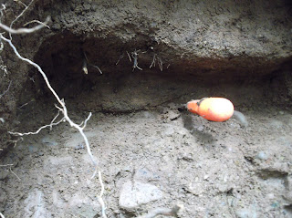
I can now with some confidence state that Agar mapped the area wrong, the area is far from a till covered glacial mess in fact i am yet to come across anything that resembles a till deposit or indeed any glacial erratics on the surface, every area i have excavated is proof in itself that Agar mapped the area wrong, and in doing so tells me he never actually looked hard enough to have the right to map it at all .


 Al of the items have one thing in common they have only ever been washed and dried, yet shine like they have been polished.


